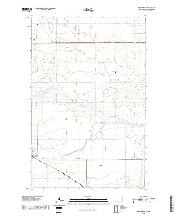
2024 Map of Fessenden East
USGS Topo · Published 2024About this map
Fessenden anchors the southwestern corner of this Wells County landscape, where the prairie grid meets the winding course of the James River. The river cuts a meandering path from west to east through the center of the township, creating a distinct topographical break in an area otherwise defined by orderly section lines and agricultural roads. For those tracing local heritage, the map identifies the East Vang Cem in the north and Concordia Cem further east, serving as small but significant markers of the area's settled history. The North Country National Scenic Trl traverses the northern reaches, following the section lines across the open country. This modern survey reflects the enduring structure of North Dakota's rural heartland, where the legacy of the Public Land Survey System remains the dominant feature of the human-shaped environment.
Find a feature on this map
20 named features on this map. Tap any name to fly to it.
Don’t see what you’re looking for? This feature index may not catch every label — zoom into the map to look around manually.
Map Details
Editions of this 2024 Fessenden East Map
This is the sole edition of this map. No revisions or reprints were ever made.
Other maps of this area

1932 · Flora
USGS Topo · 1:62,500

1943 · Maddock
USGS Topo · 1:62,500

1945 · Maddock
USGS Topo · 1:62,500

1948 · Cathay
USGS Topo · 1:62,500

1948 · Fessenden
USGS Topo · 1:62,500

1948 · Bremen
USGS Topo · 1:24,000

1949 · Bremen
USGS Topo · 1:24,000

1949 · Cathay
USGS Topo · 1:24,000

1949 · Fessenden SW
USGS Topo · 1:24,000

1949 · Fessenden East
USGS Topo · 1:24,000