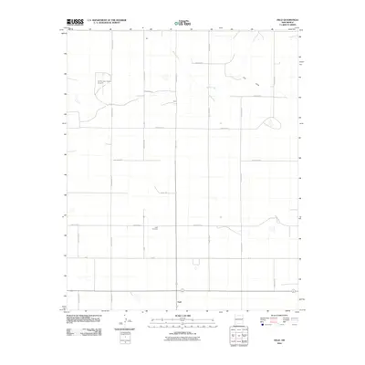
2010 Map of Field
USGS Topo · Published 2010About this map
Field sits at the southern end of a vast agricultural grid in Curry and Quay Counties, defining the high plains landscape during the first decade of the 2000s. The region is characterized by a precise network of section-line roads, including Curry Road AH and Quay Road 31, which connect sparse settlements and family-named locales like Hall and Dunn. These names often signify the long-standing agricultural roots of the area, where water features such as Blanco Creek and Frio Draw provide the primary geographic relief.
Find a feature on this map
27 named features on this map. Tap any name to fly to it.
Don’t see what you’re looking for? This feature index may not catch every label — zoom into the map to look around manually.
Map Details
Editions of this 2010 Field Map
This is the sole edition of this map. No revisions or reprints were ever made.
Other maps of this area

1954 · Clovis
USGS Topo · 1:250,000

1957 · Hammond Ranch
USGS Topo · 1:62,500

1958 · Clovis
USGS Topo · 1:250,000

1971 · Ragland
USGS Topo · 1:24,000

1971 · Grady SW
USGS Topo · 1:24,000

1971 · Forrest
USGS Topo · 1:24,000

1973 · Weber City
USGS Topo · 1:24,000

1973 · Field SE
USGS Topo · 1:24,000

1973 · Field SW
USGS Topo · 1:24,000
1973 · Field
USGS Topo · 1:24,000