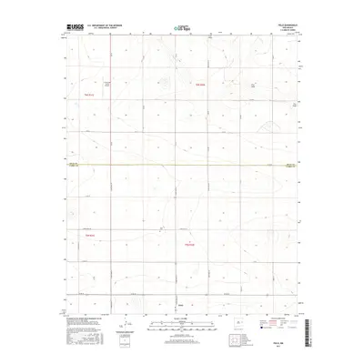
2017 Map of Field
USGS Topo · Published 2017About this map
The small community of Field sits at the intersection of a vast grid of county roads marking the high plains of eastern New Mexico. This 2017 survey shows a landscape defined by industrial agriculture and rural life, where the Field Cem and the nearby Curtis and Curtis Airport serve as central landmarks for local residents. The terrain is subtly bisected by the ephemeral drainage of Frio Draw, which meanders across the eastern portion of the map, and Blanco Cr to the north. A significant jurisdictional boundary is visible where the line between Quay Co and Curry Co runs east-to-west, dividing the township and range sections. The road network, including Curry Road AE and Quay Road AE, reflects the systematic land division of the Llano Estacado.
Find a feature on this map
33 named features on this map. Tap any name to fly to it.
Don’t see what you’re looking for? This feature index may not catch every label — zoom into the map to look around manually.
Map Details
Editions of this 2017 Field Map
This is the sole edition of this map. No revisions or reprints were ever made.
Other maps of this area

1954 · Clovis
USGS Topo · 1:250,000

1957 · Hammond Ranch
USGS Topo · 1:62,500

1958 · Clovis
USGS Topo · 1:250,000

1971 · Ragland
USGS Topo · 1:24,000

1971 · Grady SW
USGS Topo · 1:24,000

1971 · Forrest
USGS Topo · 1:24,000

1973 · Weber City
USGS Topo · 1:24,000

1973 · Field SE
USGS Topo · 1:24,000

1973 · Field SW
USGS Topo · 1:24,000
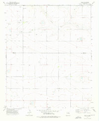
1973 · Field
USGS Topo · 1:24,000