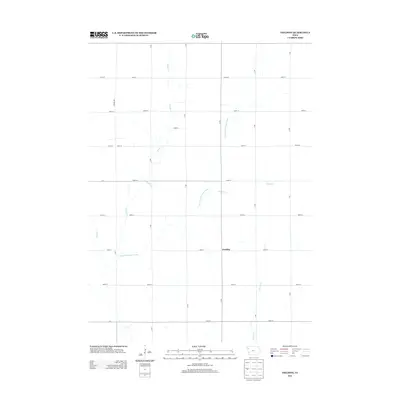
2013 Map of Fielding
USGS Topo · Published 2013About this map
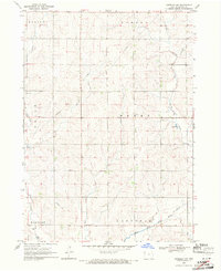
W Fork Little Sioux River defines the drainage of this Cherokee County landscape, where the small settlement of Fielding sits along a quiet rural intersection. The 2013 landscape is characterized by a precise grid of agricultural roads, including Almond Ave and B Ave, which partition the fertile terrain between numerous winding waterways. Local tributaries such as Fiddle Cr, Whisky Cr, and Badger Cr meander through the sections, highlighting the complex natural irrigation of the Iowa plains. Far from major urban centers, this area maintains its traditional agrarian layout, with Pierson Cr flowing through the southern portion of the quadrangle. The map captures the enduring structure of Iowa's township-and-range system, where the placement of Fielding serves as a primary reference point for this farming community.
Find a feature on this map
30 named features on this map. Tap any name to fly to it.
Don’t see what you’re looking for? This feature index may not catch every label — zoom into the map to look around manually.
Map Details
Editions of this 2013 Fielding Map
This is the sole edition of this map. No revisions or reprints were ever made.
Other maps of this area

1954 · Fort Dodge
USGS Topo · 1:250,000

1957 · Fort Dodge
USGS Topo · 1:250,000

1958 · Fort Dodge
USGS Topo · 1:250,000

1969 · Pierson
USGS Topo · 1:24,000

1969 · Cleghorn
USGS Topo · 1:24,000

1969 · Fielding
USGS Topo · 1:24,000
1969 · Marcus
USGS Topo · 1:24,000
1969 · Kingsley
USGS Topo · 1:24,000
1969 · Remsen
USGS Topo · 1:24,000
1969 · Kingsley NW
USGS Topo · 1:24,000