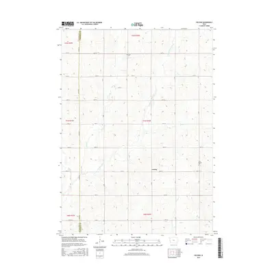
2015 Map of Fielding
USGS Topo · Published 2015About this map
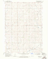
The settlement of Fielding sits near the heart of this rural landscape where the W Fork Little Sioux River meanders through the northwest corner of Iowa. The map documents a highly structured section-line grid of gravel and paved roads, such as Almond Ave and Co Rd C44, that define the agricultural character of Cherokee and Plymouth Counties. This 2015 survey reveals the persistence of local landmarks that anchor the community's history, including Trinity Cem in the north and Mount Pleasant Cem further east. Small waterways like Fiddle Cr, Whisky Cr, and Badger Cr cut through the terrain, illustrating the drainage patterns that have dictated farmstead placement and land use for generations in this part of the state.
Find a feature on this map
37 named features on this map. Tap any name to fly to it.
Don’t see what you’re looking for? This feature index may not catch every label — zoom into the map to look around manually.
Map Details
Editions of this 2015 Fielding Map
This is the sole edition of this map. No revisions or reprints were ever made.
Other maps of this area

1954 · Fort Dodge
USGS Topo · 1:250,000

1957 · Fort Dodge
USGS Topo · 1:250,000

1958 · Fort Dodge
USGS Topo · 1:250,000

1969 · Pierson
USGS Topo · 1:24,000

1969 · Cleghorn
USGS Topo · 1:24,000

1969 · Fielding
USGS Topo · 1:24,000
1969 · Marcus
USGS Topo · 1:24,000
1969 · Kingsley
USGS Topo · 1:24,000
1969 · Remsen
USGS Topo · 1:24,000
1969 · Kingsley NW
USGS Topo · 1:24,000