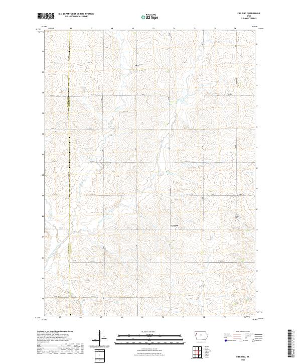
2022 Map of Fielding
USGS Topo · Published 2022About this map
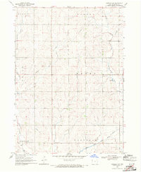
The W Fork Little Sioux River meanders south through this section of the western Iowa prairie, defining the drainage patterns of the surrounding agricultural landscape. This territory is marked by the small settlement of Fielding, which sits near the junction of several rural section roads. The map captures a transition between Plymouth and Cherokee counties, an area historically shaped by the expansion of farmsteads and the local township system.
Find a feature on this map
37 named features on this map. Tap any name to fly to it.
Don’t see what you’re looking for? This feature index may not catch every label — zoom into the map to look around manually.
Map Details
Editions of this 2022 Fielding Map
This is the sole edition of this map. No revisions or reprints were ever made.
Other maps of this area

1954 · Fort Dodge
USGS Topo · 1:250,000

1957 · Fort Dodge
USGS Topo · 1:250,000

1958 · Fort Dodge
USGS Topo · 1:250,000

1969 · Pierson
USGS Topo · 1:24,000

1969 · Cleghorn
USGS Topo · 1:24,000

1969 · Fielding
USGS Topo · 1:24,000
1969 · Marcus
USGS Topo · 1:24,000
1969 · Kingsley
USGS Topo · 1:24,000
1969 · Remsen
USGS Topo · 1:24,000
1969 · Kingsley NW
USGS Topo · 1:24,000