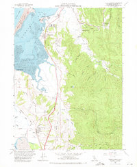
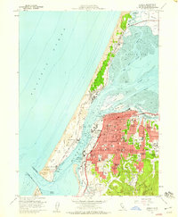
1959 Map of Fields Landing
USGS Topo · Published 1971About this map
Humboldt Bay and its southern reaches define this coastal landscape, where the Northwestern Pacific Railroad and Redwood Highway parallel the shore. Small maritime and rail-focused settlements like Fields Landing and King Salmon sit at the water's edge, while the dairy and agricultural community of Loleta occupies the southern terrace near Table Bluff. The map records a working coastal economy, noting the Coast Guard Cutter Dock and a network of sloughs including Hookton and Hogpen.
Find a feature on this map
59 named features on this map. Tap any name to fly to it.
Don’t see what you’re looking for? This feature index may not catch every label — zoom into the map to look around manually.
Map Details
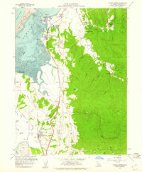
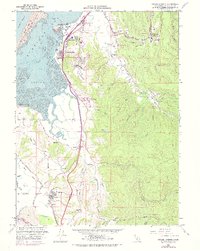
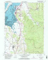
Editions of this 1959 Fields Landing Map
4 editions found
Other maps of this area

1916 · Cape Fortunas
USGS Topo · 1:62,500

1922 · Eureka
USGS Topo · 1:62,500

1933 · Eureka
USGS Topo · 1:48,000

1942 · Eureka
USGS Topo · 1:62,500

1943 · Ferndale
USGS Topo · 1:62,500

1944 · Fortuna
USGS Topo · 1:62,500

1949 · Eureka
USGS Topo · 1:250,000

1951 · Eureka
USGS Topo · 1:62,500

1951 · Ferndale
USGS Topo · 1:62,500
1958 · Eureka
USGS Topo · 1:24,000