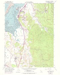
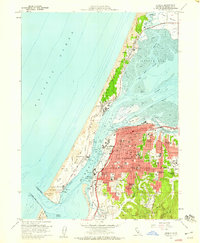
1959 Map of Fields Landing
USGS Topo · Published 1974About this map
Humboldt Bay dominates the western landscape of this mid-century survey, where the Northwestern Pacific Railroad tracks follow the shoreline past industrial and maritime hubs. The waterfront at Fields Landing features a Coast Guard Cutter Dock and active quarrying operations, while the South Spit protects the inner harbor from the Pacific Ocean. To the south, the terrain rises sharply from the Hookton Slough and Cannibal Slough wetlands toward Table Bluff, a prominent coastal terrace that separates the bay complex from the Eel River drainage.
Find a feature on this map
55 named features on this map. Tap any name to fly to it.
Don’t see what you’re looking for? This feature index may not catch every label — zoom into the map to look around manually.
Map Details
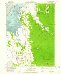
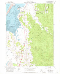
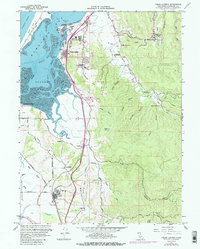
Editions of this 1959 Fields Landing Map
4 editions found
Other maps of this area

1916 · Cape Fortunas
USGS Topo · 1:62,500

1922 · Eureka
USGS Topo · 1:62,500

1933 · Eureka
USGS Topo · 1:48,000

1942 · Eureka
USGS Topo · 1:62,500

1943 · Ferndale
USGS Topo · 1:62,500

1944 · Fortuna
USGS Topo · 1:62,500

1949 · Eureka
USGS Topo · 1:250,000

1951 · Eureka
USGS Topo · 1:62,500

1951 · Ferndale
USGS Topo · 1:62,500
1958 · Eureka
USGS Topo · 1:24,000