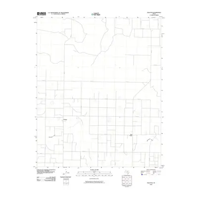
2010 Map of Fieldton
USGS Topo · Published 2010About this map
Fieldton sits at the center of this agricultural landscape in Lamb County, defined by a rigid grid of county roads and drainage patterns. The community of Hart Camp lies to the southeast, connected to the surrounding farmland by a network of Farm to Market roads including Fm 168 and Fm 1072. The most significant natural feature is Blackwater Draw, a dry riverbed that meanders across the southern portion of the quadrangle. This intermittent waterway provides a rare break in the geometric precision of the irrigation-driven landscape, where dozens of circular depressions suggest the presence of playa lakes or cattle tanks vital to the local ranching and farming operations. The map illustrates the transition of the High Plains into a highly managed landscape of roads such as Co RD 192 and Co RD 202, which serve the rural homesteads scattered throughout the territory.
Find a feature on this map
20 named features on this map. Tap any name to fly to it.
Don’t see what you’re looking for? This feature index may not catch every label — zoom into the map to look around manually.
Map Details
Editions of this 2010 Fieldton Map
This is the sole edition of this map. No revisions or reprints were ever made.
Other maps of this area

1954 · Clovis
USGS Topo · 1:250,000

1954 · Brownfield
USGS Topo · 1:250,000

1957 · Anton
USGS Topo · 1:62,500

1958 · Brownfield
USGS Topo · 1:250,000

1958 · Clovis
USGS Topo · 1:250,000

1962 · Brownfield
USGS Topo · 1:250,000

1962 · Cofferville
USGS Topo · 1:24,000

1962 · Springlake
USGS Topo · 1:24,000

1962 · Fieldton
USGS Topo · 1:24,000

1963 · Olton
USGS Topo · 1:24,000