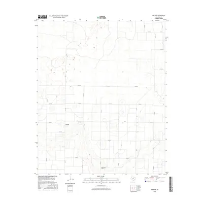
2016 Map of Fieldton
USGS Topo · Published 2016About this map
Fieldton serves as the central focal point of this Lamb County landscape, situated atop the High Plains where the vast agricultural grid meets the natural depression of Blackwater Draw. The map illustrates a highly organized rural infrastructure, where an extensive network of county roads, including Co RD 192 and Co RD 202, defines the land use patterns around the settlement. This 2016 survey highlights the relationship between the built environment and the subtle topography of the draw, a significant geographic feature that cuts across the southern portion of the quadrangle. Transport through this West Texas region is facilitated by a web of Farm to Market roads such as Fm 1072 and Fm 37, which link the isolated farmsteads and rural properties to the wider county network.
Find a feature on this map
22 named features on this map. Tap any name to fly to it.
Don’t see what you’re looking for? This feature index may not catch every label — zoom into the map to look around manually.
Map Details
Editions of this 2016 Fieldton Map
This is the sole edition of this map. No revisions or reprints were ever made.
Other maps of this area

1954 · Clovis
USGS Topo · 1:250,000

1954 · Brownfield
USGS Topo · 1:250,000

1957 · Anton
USGS Topo · 1:62,500

1958 · Brownfield
USGS Topo · 1:250,000

1958 · Clovis
USGS Topo · 1:250,000

1962 · Brownfield
USGS Topo · 1:250,000

1962 · Cofferville
USGS Topo · 1:24,000

1962 · Springlake
USGS Topo · 1:24,000

1962 · Fieldton
USGS Topo · 1:24,000

1963 · Olton
USGS Topo · 1:24,000