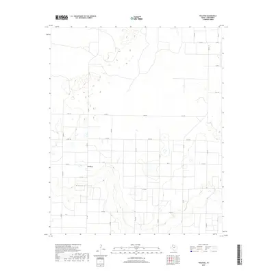
2019 Map of Fieldton
USGS Topo · Published 2019About this map
The small settlement of Fieldton serves as the focal point for this agrarian landscape in Lamb County, situated just north of the significant geographic feature Blackwater Draw. This seasonal watercourse meanders across the southern portion of the map, cutting through a high plains terrain otherwise defined by a meticulous grid of rural roads. The transportation network is anchored by state-maintained Farm to Market roads, including FM 1072, which runs north-south through the village, and FM 37, which intersects it to connect the surrounding farmsteads. Dozens of county roads, such as Co RD 192 and Co RD 212, delineate large agricultural parcels, reflecting the enduring legacy of the regional land survey system and its influence on local property lines and settlement patterns in the early twenty-first century.
Find a feature on this map
22 named features on this map. Tap any name to fly to it.
Don’t see what you’re looking for? This feature index may not catch every label — zoom into the map to look around manually.
Map Details
Editions of this 2019 Fieldton Map
This is the sole edition of this map. No revisions or reprints were ever made.
Other maps of this area

1954 · Clovis
USGS Topo · 1:250,000

1954 · Brownfield
USGS Topo · 1:250,000

1957 · Anton
USGS Topo · 1:62,500

1958 · Brownfield
USGS Topo · 1:250,000

1958 · Clovis
USGS Topo · 1:250,000

1962 · Brownfield
USGS Topo · 1:250,000

1962 · Cofferville
USGS Topo · 1:24,000

1962 · Springlake
USGS Topo · 1:24,000

1962 · Fieldton
USGS Topo · 1:24,000

1963 · Olton
USGS Topo · 1:24,000