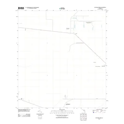
2012 Map of Fiftymile Bend
USGS Topo · Published 2012About this map
Big Cypress National Preserve defines the vast, wet landscape of this southern Florida quadrangle, where the human footprint is limited to a few isolated settlements and thin ribbons of asphalt. The community of Pinecrest sits at the southern edge, while Trail City is situated along the western border. Connectivity is provided by the straight path of highway 41 and the winding Loop Rd, which serves the small outpost at Trail Center.
Find a feature on this map
11 named features on this map. Tap any name to fly to it.
Don’t see what you’re looking for? This feature index may not catch every label — zoom into the map to look around manually.
Map Details
Editions of this 2012 Fiftymile Bend Map
This is the sole edition of this map. No revisions or reprints were ever made.
Other maps of this area

1956 · Miami
USGS Topo · 1:250,000

1958 · Miami
USGS Topo · 1:250,000

1972 · Shark Valley Lookout Tower
USGS Topo · 1:24,000

1972 · Monroe Station NE
USGS Topo · 1:24,000

1972 · Lostmans Trail
USGS Topo · 1:24,000

1972 · Big Boy Lake
USGS Topo · 1:24,000

1973 · Fortymile Bend
USGS Topo · 1:24,000

1973 · Fiftymile Bend
USGS Topo · 1:24,000

1973 · North Of Fiftymile Bend
USGS Topo · 1:24,000

1973 · Monroe Station
USGS Topo · 1:24,000