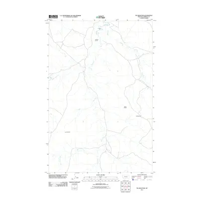
2011 Map of Fig Mountain
USGS Topo · Published 2011About this map
Fig Mountain and Black Buttes define the high ground of this Garfield County landscape, where the drainage patterns of the Missouri River watershed are clearly etched into the terrain. The map captures a network of ephemeral and perennial waterways, most notably Sand Creek and the branching system of Basin Creek, including its West Fork. Human intervention in this dry environment is evident at Lacosta Dam near the northern boundary, a structure critical for water management in the region's ranching economy.
Find a feature on this map
9 named features on this map. Tap any name to fly to it.
Don’t see what you’re looking for? This feature index may not catch every label — zoom into the map to look around manually.
Map Details
Editions of this 2011 Fig Mountain Map
This is the sole edition of this map. No revisions or reprints were ever made.
Other maps of this area

1954 · Jordan
USGS Topo · 1:250,000

1954 · Forsyth
USGS Topo · 1:250,000

1956 · Jordan
USGS Topo · 1:250,000

1957 · Forsyth
USGS Topo · 1:250,000

1958 · Jordan
USGS Topo · 1:250,000

1958 · Forsyth
USGS Topo · 1:250,000

1964 · Jordan
USGS Topo · 1:250,000

1965 · Big Dry School
USGS Topo · 1:24,000

1965 · Darby Buttes
USGS Topo · 1:24,000

1965 · Kramer Ranch
USGS Topo · 1:24,000