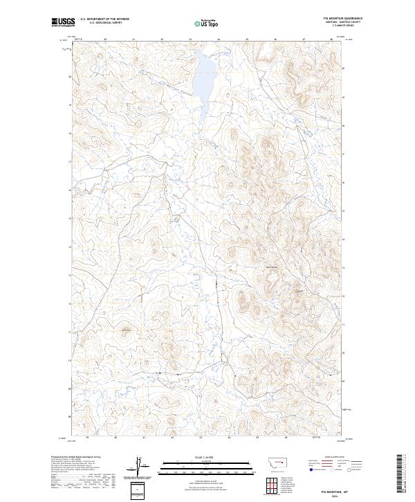
2024 Map of Fig Mountain
USGS Topo · Published 2024About this map
Kramer Ranch stands as a point of human activity within this Garfield County landscape, which is defined by its dramatic relief and drainage patterns. The topography is dominated by several distinct rises, including the namesake Fig Mtn and the prominent Black Buttes, alongside Mother Butte and Joe Ott Butte. These landmarks rise above a network of seasonal watercourses such as Harston Coulee and Basin Creek.
Find a feature on this map
18 named features on this map. Tap any name to fly to it.
Don’t see what you’re looking for? This feature index may not catch every label — zoom into the map to look around manually.
Map Details
Editions of this 2024 Fig Mountain Map
This is the sole edition of this map. No revisions or reprints were ever made.
Other maps of this area

1954 · Jordan
USGS Topo · 1:250,000

1954 · Forsyth
USGS Topo · 1:250,000

1956 · Jordan
USGS Topo · 1:250,000

1957 · Forsyth
USGS Topo · 1:250,000

1958 · Jordan
USGS Topo · 1:250,000

1958 · Forsyth
USGS Topo · 1:250,000

1964 · Jordan
USGS Topo · 1:250,000

1965 · Big Dry School
USGS Topo · 1:24,000

1965 · Darby Buttes
USGS Topo · 1:24,000

1965 · Kramer Ranch
USGS Topo · 1:24,000