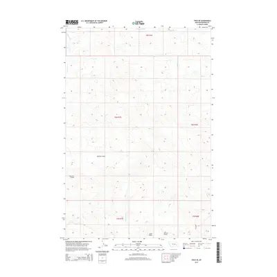
2014 Map of Finch NE
USGS Topo · Published 2014About this map
Castle Butte and McGraw Coulee anchor the southern reaches of this Rosebud County landscape, illustrating the intricate drainage patterns that define the region. The topography is shaped by a complex network of seasonal watercourses and drainage basins, including Machine Coulee and Crossman Coulee, which flow toward larger systems like Living Ash Cr and N Prong Hay Cr. Aside from Gerhart Rd in the southeast corner, the area remains largely open rangeland, characterized by the township and range divisions of t8n r39e and t8n r40e. This 2014 survey reveals a land primarily defined by its hydrology, where named features like Greasewood Cr and Dry Cr represent the primary points of orientation in a sparse, working landscape.
Find a feature on this map
15 named features on this map. Tap any name to fly to it.
Don’t see what you’re looking for? This feature index may not catch every label — zoom into the map to look around manually.
Map Details
Editions of this 2014 Finch NE Map
This is the sole edition of this map. No revisions or reprints were ever made.
Other maps of this area

1954 · Forsyth
USGS Topo · 1:250,000

1957 · Forsyth
USGS Topo · 1:250,000

1958 · Forsyth
USGS Topo · 1:250,000

1968 · Donleys Reservoir
USGS Topo · 1:24,000

1968 · Nichols
USGS Topo · 1:24,000

1968 · Forsyth
USGS Topo · 1:24,000

1968 · Finch NE
USGS Topo · 1:24,000

1968 · Black Coulee
USGS Topo · 1:24,000

1968 · Finch
USGS Topo · 1:24,000

1969 · Flat Bottom Coulee SW
USGS Topo · 1:24,000