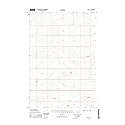
2017 Map of Finch NE
USGS Topo · Published 2017About this map
Castle Butte rises above a landscape defined by deeply etched drainage systems and high-desert terrain in this 2017 survey of Rosebud County. The territory is marked by the branching paths of Hay Cr, including the N Prong Hay Cr, and the isolated course of Lignite Ash Cr in the northwest. This area of Montana illustrates the classic coulee topography of the western plains, where seasonal water flow has carved significant depressions such as Machine Coulee, McGraw Coulee, and Crossman Coulee. Human intervention remains sparse, primarily indicated by the path of Gerhardt Rd in the southeast. The map reveals a complex network of ephemeral streams like Greasewood Cr and Dry Cr, highlighting the importance of water management and topography for those navigating this portion of the Montana badlands.
Find a feature on this map
15 named features on this map. Tap any name to fly to it.
Don’t see what you’re looking for? This feature index may not catch every label — zoom into the map to look around manually.
Map Details
Editions of this 2017 Finch NE Map
This is the sole edition of this map. No revisions or reprints were ever made.
Other maps of this area

1954 · Forsyth
USGS Topo · 1:250,000

1957 · Forsyth
USGS Topo · 1:250,000

1958 · Forsyth
USGS Topo · 1:250,000

1968 · Donleys Reservoir
USGS Topo · 1:24,000

1968 · Nichols
USGS Topo · 1:24,000

1968 · Forsyth
USGS Topo · 1:24,000

1968 · Finch NE
USGS Topo · 1:24,000

1968 · Black Coulee
USGS Topo · 1:24,000

1968 · Finch
USGS Topo · 1:24,000

1969 · Flat Bottom Coulee SW
USGS Topo · 1:24,000