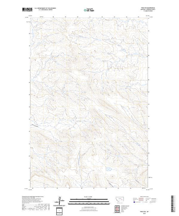
2024 Map of Finch NE
USGS Topo · Published 2024About this map
Hay Creek and Dry Creek define the drainage patterns of this high plains landscape in Rosebud County. The map details a rugged section of Montana characterized by deep erosional features like Machine Coulee and McGraw Coulee, which cut through the underlying topography of the T8N R39E and T9N R39E townships. Human impact on the land is spare, primarily marked by the presence of Gerhardt Rd in the southeastern corner. This survey documents the complex watershed of Greasewood Creek at the start of the 2020s, providing a clear record of the area's natural boundaries and topographical relief before future shifts in land use or environmental change.
Find a feature on this map
11 named features on this map. Tap any name to fly to it.
Don’t see what you’re looking for? This feature index may not catch every label — zoom into the map to look around manually.
Map Details
Editions of this 2024 Finch NE Map
This is the sole edition of this map. No revisions or reprints were ever made.
Other maps of this area

1954 · Forsyth
USGS Topo · 1:250,000

1957 · Forsyth
USGS Topo · 1:250,000

1958 · Forsyth
USGS Topo · 1:250,000

1968 · Donleys Reservoir
USGS Topo · 1:24,000

1968 · Nichols
USGS Topo · 1:24,000

1968 · Forsyth
USGS Topo · 1:24,000

1968 · Finch NE
USGS Topo · 1:24,000

1968 · Black Coulee
USGS Topo · 1:24,000

1968 · Finch
USGS Topo · 1:24,000

1969 · Flat Bottom Coulee SW
USGS Topo · 1:24,000