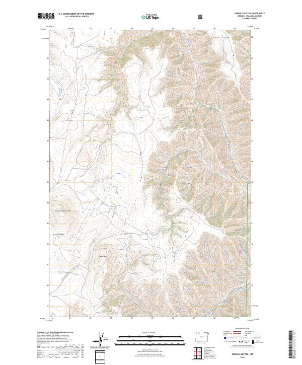
2024 Map of Findley Buttes
USGS Topo · Published 2024About this map
Wallowa National Forest land dominates the southeastern portion of this map, where the high-elevation terrain is defined by dramatic vertical relief and deep drainages. Significant landmarks include the dual peaks of Findley Buttes and the oddly named Meeksem Heepey Butte, which rise above the surrounding slopes. The historical Old Imnaha Rd cuts through the southern landscape, providing a trace of the long-standing transport routes used to navigate these canyons.
Find a feature on this map
23 named features on this map. Tap any name to fly to it.
Don’t see what you’re looking for? This feature index may not catch every label — zoom into the map to look around manually.
Map Details
Editions of this 2024 Findley Buttes Map
This is the sole edition of this map. No revisions or reprints were ever made.
Other maps of this area

1954 · Imnaha
USGS Topo · 1:62,500

1954 · Harl Butte
USGS Topo · 1:62,500

1955 · Grangeville
USGS Topo · 1:250,000

1957 · Joseph
USGS Topo · 1:62,500

1957 · Elk Mountain
USGS Topo · 1:62,500

1959 · Grangeville
USGS Topo · 1:250,000

1980 · Grangeville
USGS Topo · 1:100,000

1982 · Wallowa
USGS Topo · 1:100,000

1986 · Enterprise
USGS Topo · 1:100,000

1987 · Riggins
USGS Topo · 1:100,000