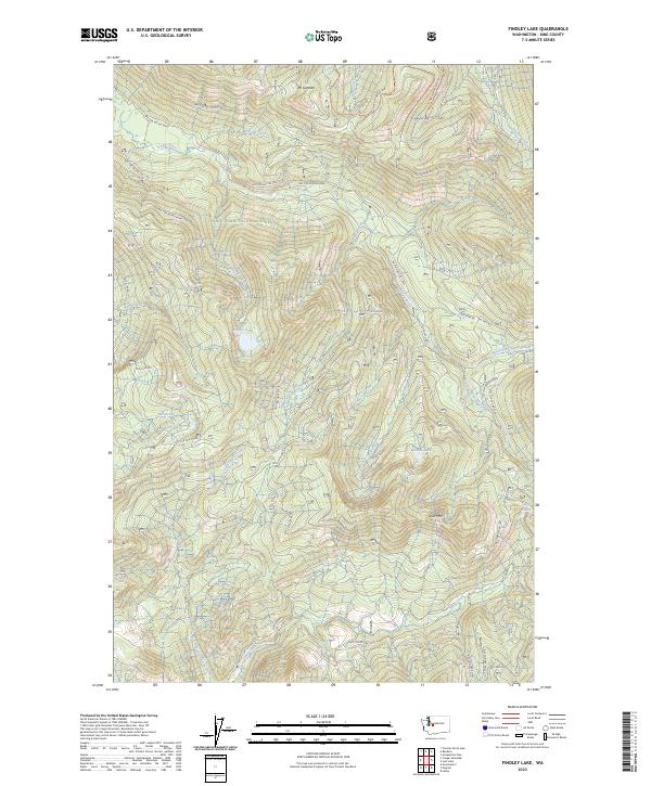
2023 Map of Findley Lake
USGS Topo · Published 2023About this map
Snoqualmie National Forest dominates this high-elevation landscape, where the headwaters of several major river systems originate among the peaks of the Cascades. The terrain is defined by the steep drainage basins of the Rex River and the Cedar River, with numerous tributaries like Roaring Creek and Carter Creek cutting through the montane forest. The map reveals a complex network of forest roads, such as NFD 5030 RD and NFD 5130 RD, which provide the primary access to these remote watersheds.
Find a feature on this map
56 named features on this map. Tap any name to fly to it.
Don’t see what you’re looking for? This feature index may not catch every label — zoom into the map to look around manually.
Map Details
Editions of this 2023 Findley Lake Map
This is the sole edition of this map. No revisions or reprints were ever made.
Other maps of this area

1901 · Snoqualmie Pass
USGS Topo · 1:125,000

1903 · Snoqualmie
USGS Topo · 1:125,000

1913 · Cedar Lake
USGS Topo · 1:125,000

1956 · Greenwater
USGS Topo · 1:62,500

1957 · Wenatchee
USGS Topo · 1:250,000

1960 · Bandera
USGS Topo · 1:62,500

1961 · Snoqualmie Pass
USGS Topo · 1:62,500

1962 · Lester
USGS Topo · 1:62,500

1975 · Snoqualmie Pass
USGS Topo · 1:100,000
1986 · Nagrom
USGS Topo · 1:24,000