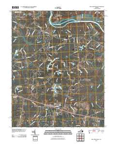
2010 Map of Fine Creek Mills
USGS Topo · Published 2010About this map
The James River and Little River converge in this pocket of Virginia, where the landscape is defined by its historic mills and water management. Fine Creek Mills stands as a focal point near the winding Fine Creek, while further south, the remains of local industry are evident at Krouses Mill and the nearby Byers Millpond. The map reveals a transition from these historic water-powered sites to more modern infrastructure, including the Spring Valley Airport and Flatrock Air Strip, reflecting the area's development over time.
Find a feature on this map
97 named features on this map. Tap any name to fly to it.
Don’t see what you’re looking for? This feature index may not catch every label — zoom into the map to look around manually.
Map Details
Editions of this 2010 Fine Creek Mills Map
This is the sole edition of this map. No revisions or reprints were ever made.
Other maps of this area

1890 · Goochland
USGS Topo · 1:125,000

1892 · Goochland
USGS Topo · 1:125,000

1897 · Amelia
USGS Topo · 1:125,000

1943 · Goochland
USGS Topo · 1:31,680

1943 · Fine Creek Mills
USGS Topo · 1:31,680

1943 · Powhatan
USGS Topo · 1:31,680

1943 · Perkinsville
USGS Topo · 1:31,680

1943 · Hallsboro
USGS Topo · 1:31,680

1943 · Clayville
USGS Topo · 1:24,000

1943 · Midlothian
USGS Topo · 1:24,000