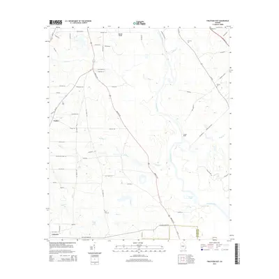
2014 Map of Finleyson East
USGS Topo · Published 2014About this map
The Ocmulgee River winds through this rural landscape on the border of Pulaski and Wilcox counties, defining a terrain of river bluffs and seasonal creeks. Small agrarian communities like Finleyson, Goose Neck, and Wallace are connected by a network of rural roads and highways, including the Abbeville Hwy and Eastman Hwy. The map reveals a high concentration of family and community burial sites, such as Union Cem, Slade Cem, and Bluff Creek Cem, which speak to the long-standing settlement history of the region.
Find a feature on this map
73 named features on this map. Tap any name to fly to it.
Don’t see what you’re looking for? This feature index may not catch every label — zoom into the map to look around manually.
Map Details
Editions of this 2014 Finleyson East Map
This is the sole edition of this map. No revisions or reprints were ever made.
Other maps of this area

1956 · Cochran
USGS Topo · 1:62,500

1956 · Perry
USGS Topo · 1:62,500

1957 · Macon
USGS Topo · 1:250,000

1958 · Macon
USGS Topo · 1:250,000

1964 · Macon
USGS Topo · 1:250,000

1971 · Pineview West
USGS Topo · 1:24,000

1972 · Finleyson East
USGS Topo · 1:24,000

1972 · West Of Eastman
USGS Topo · 1:24,000

1972 · Finleyson West
USGS Topo · 1:24,000

1972 · Abbeville North
USGS Topo · 1:24,000