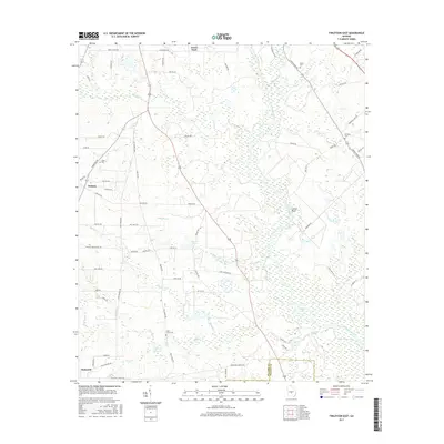
2017 Map of Finleyson East
USGS Topo · Published 2017About this map
The Ocmulgee River meanders through the eastern portion of this Middle Georgia landscape, creating a broad wetland corridor that defines the local geography. Settlements like Finleyson, Wallace, and the descriptively named Goose Neck are connected by a network of rural routes and fire roads, reflecting the region's long-standing forestry and agricultural character. The terrain is marked by numerous water features, including Dawson Lake, Treisch Lake, and several creeks such as Big Cr and Limestone Creek.
Find a feature on this map
75 named features on this map. Tap any name to fly to it.
Don’t see what you’re looking for? This feature index may not catch every label — zoom into the map to look around manually.
Map Details
Editions of this 2017 Finleyson East Map
This is the sole edition of this map. No revisions or reprints were ever made.
Other maps of this area

1956 · Cochran
USGS Topo · 1:62,500

1956 · Perry
USGS Topo · 1:62,500

1957 · Macon
USGS Topo · 1:250,000

1958 · Macon
USGS Topo · 1:250,000

1964 · Macon
USGS Topo · 1:250,000

1971 · Pineview West
USGS Topo · 1:24,000

1972 · Finleyson East
USGS Topo · 1:24,000

1972 · West Of Eastman
USGS Topo · 1:24,000

1972 · Finleyson West
USGS Topo · 1:24,000

1972 · Abbeville North
USGS Topo · 1:24,000