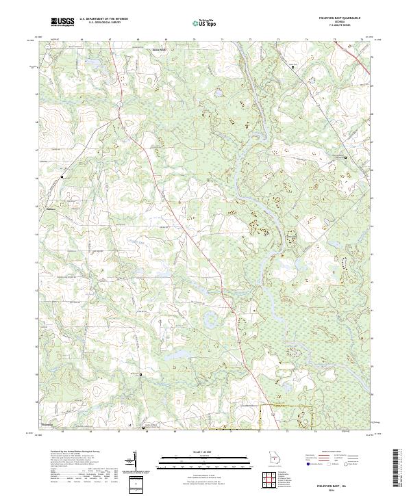
2024 Map of Finleyson East
USGS Topo · Published 2024About this map
The Ocmulgee River meanders through this portion of Georgia, defining the landscape and the jurisdictional boundary between Pulaski County and Wilcox County. This 2024 map documents several small agricultural and river-oriented settlements, including Goose Neck, Wallace, and Cotton Bluff. The map is particularly valuable for genealogists, as it identifies numerous family burial sites and rural churchyards, such as the Buchan Family Graveyard and Mattie Richland Baptist Church Cem near the town of Finleyson.
Find a feature on this map
73 named features on this map. Tap any name to fly to it.
Don’t see what you’re looking for? This feature index may not catch every label — zoom into the map to look around manually.
Map Details
Editions of this 2024 Finleyson East Map
This is the sole edition of this map. No revisions or reprints were ever made.
Other maps of this area

1956 · Cochran
USGS Topo · 1:62,500

1956 · Perry
USGS Topo · 1:62,500

1957 · Macon
USGS Topo · 1:250,000

1958 · Macon
USGS Topo · 1:250,000

1964 · Macon
USGS Topo · 1:250,000

1971 · Pineview West
USGS Topo · 1:24,000

1972 · Finleyson East
USGS Topo · 1:24,000

1972 · West Of Eastman
USGS Topo · 1:24,000

1972 · Finleyson West
USGS Topo · 1:24,000

1972 · Abbeville North
USGS Topo · 1:24,000