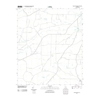
2011 Map of Finleyson West
USGS Topo · Published 2011About this map
Finleyson anchors the southeast corner of this Pulaski County landscape, a region defined by a sophisticated network of local roads and slow-moving watercourses. The drainage of Tenmile Creek, Wolf Creek, and Cedar Creek dictates the movement of travel across the quadrangle, with the historic Fountain Millpond serving as a significant landmark on the eastern edge. Educational and community life is centered around Pulaski High, positioned near the junction of several key routes including Pulaski High School Rd and Antioch Ch Rd. Local family names and former commercial hubs are preserved in the road network, as seen in Owens Store Rd and Williams Cemetery Rd. The map illustrates a contemporary agricultural landscape where residential clusters remain tied to the primary thoroughfares like Snow Rd and Tom Taylor Rd, while large tracts of land are bounded by the natural borders of South Prong Creek and Double Branch Creek.
Find a feature on this map
52 named features on this map. Tap any name to fly to it.
Don’t see what you’re looking for? This feature index may not catch every label — zoom into the map to look around manually.
Map Details
Editions of this 2011 Finleyson West Map
This is the sole edition of this map. No revisions or reprints were ever made.
Other maps of this area

1956 · Cochran
USGS Topo · 1:62,500

1956 · Perry
USGS Topo · 1:62,500

1957 · Macon
USGS Topo · 1:250,000

1958 · Macon
USGS Topo · 1:250,000

1964 · Macon
USGS Topo · 1:250,000

1971 · Pineview West
USGS Topo · 1:24,000

1971 · Pineview NW
USGS Topo · 1:24,000

1971 · Pineview SW
USGS Topo · 1:24,000

1972 · Finleyson East
USGS Topo · 1:24,000

1972 · Finleyson West
USGS Topo · 1:24,000