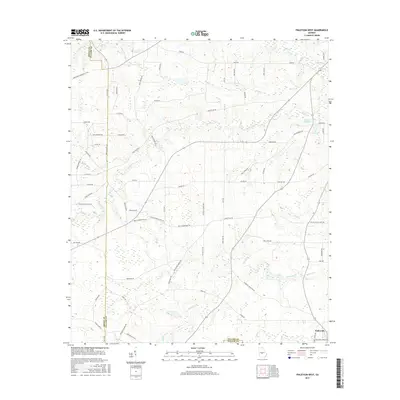
2017 Map of Finleyson West
USGS Topo · Published 2017About this map
The agrarian landscape of Finleyson is meticulously documented in this 2017 survey, revealing a network of rural roads and watercourses at the junction of three Georgia counties. The terrain is defined by the winding paths of Tenmile Creek, Cedar Cr, and Wolf Cr, which drain into localized basins such as Fountain Millpond. Local landmarks like Mock Spring and the Wesley Chapel area provide points of reference for genealogists tracking family ties to the land.
Find a feature on this map
74 named features on this map. Tap any name to fly to it.
Don’t see what you’re looking for? This feature index may not catch every label — zoom into the map to look around manually.
Map Details
Editions of this 2017 Finleyson West Map
This is the sole edition of this map. No revisions or reprints were ever made.
Other maps of this area

1956 · Cochran
USGS Topo · 1:62,500

1956 · Perry
USGS Topo · 1:62,500

1957 · Macon
USGS Topo · 1:250,000

1958 · Macon
USGS Topo · 1:250,000

1964 · Macon
USGS Topo · 1:250,000

1971 · Pineview West
USGS Topo · 1:24,000

1971 · Pineview NW
USGS Topo · 1:24,000

1971 · Pineview SW
USGS Topo · 1:24,000

1972 · Finleyson East
USGS Topo · 1:24,000

1972 · Finleyson West
USGS Topo · 1:24,000