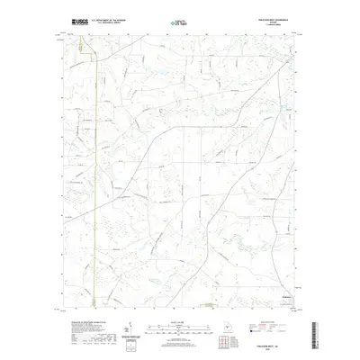
2020 Map of Finleyson West
USGS Topo · Published 2020About this map
The agrarian landscape of Pulaski and Wilcox Counties is defined by a dense network of country roads and family-named landmarks. The settlement of Finleyson anchors the southeast corner, connected to the surrounding countryside by thoroughfares like Reynolds Rd and Tom Taylor Rd. This 2020 survey reveals how the local geography remains tied to its agricultural roots and community institutions, with routes leading to sites such as Bellview Church Rd, Friendship Ch Rd, and Wesley Chapel Rd.
Find a feature on this map
68 named features on this map. Tap any name to fly to it.
Don’t see what you’re looking for? This feature index may not catch every label — zoom into the map to look around manually.
Map Details
Editions of this 2020 Finleyson West Map
This is the sole edition of this map. No revisions or reprints were ever made.
Other maps of this area

1956 · Cochran
USGS Topo · 1:62,500

1956 · Perry
USGS Topo · 1:62,500

1957 · Macon
USGS Topo · 1:250,000

1958 · Macon
USGS Topo · 1:250,000

1964 · Macon
USGS Topo · 1:250,000

1971 · Pineview West
USGS Topo · 1:24,000

1971 · Pineview NW
USGS Topo · 1:24,000

1971 · Pineview SW
USGS Topo · 1:24,000

1972 · Finleyson East
USGS Topo · 1:24,000

1972 · Finleyson West
USGS Topo · 1:24,000