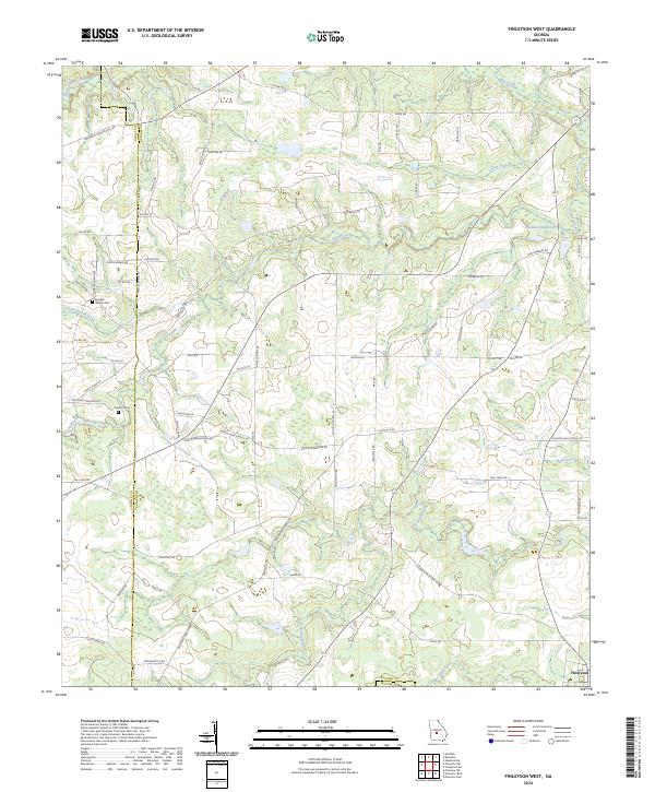
2024 Map of Finleyson West
USGS Topo · Published 2024About this map
Cedar Creek and its many tributaries, including Double Branch Creek and Wolf Creek, define the drainage patterns across this section of south-central Georgia. The landscape is characterized by a dense network of local routes such as Snow RD and Tom Taylor RD, reflecting a rural agricultural layout where family names are frequently attached to the land and thoroughfares. The settlement of Finleyson sits at the southeastern corner of the quadrangle, serving as a local focal point near the crossing of Tenmile Creek.
Find a feature on this map
77 named features on this map. Tap any name to fly to it.
Don’t see what you’re looking for? This feature index may not catch every label — zoom into the map to look around manually.
Map Details
Editions of this 2024 Finleyson West Map
This is the sole edition of this map. No revisions or reprints were ever made.
Other maps of this area

1956 · Cochran
USGS Topo · 1:62,500

1956 · Perry
USGS Topo · 1:62,500

1957 · Macon
USGS Topo · 1:250,000

1958 · Macon
USGS Topo · 1:250,000

1964 · Macon
USGS Topo · 1:250,000

1971 · Pineview West
USGS Topo · 1:24,000

1971 · Pineview NW
USGS Topo · 1:24,000

1971 · Pineview SW
USGS Topo · 1:24,000

1972 · Finleyson East
USGS Topo · 1:24,000

1972 · Finleyson West
USGS Topo · 1:24,000