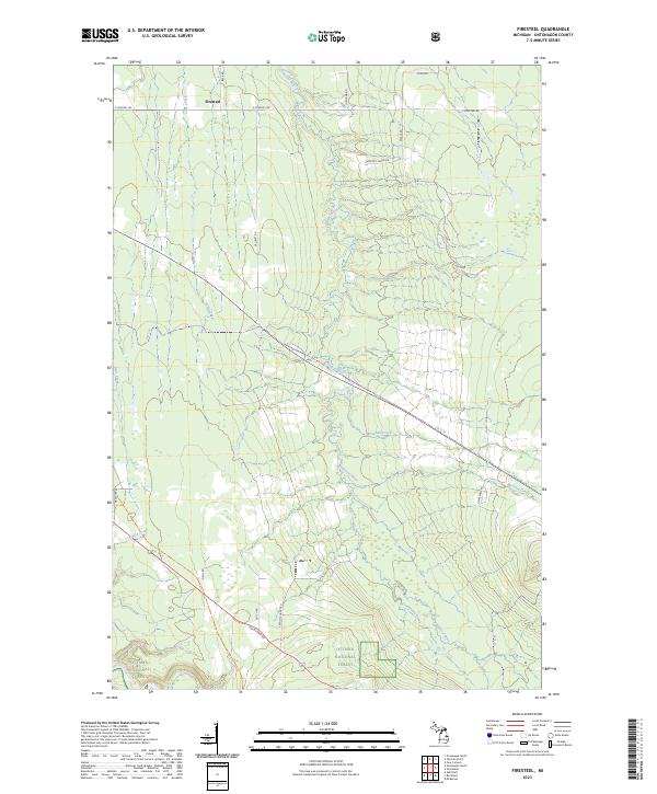
2023 Map of Firesteel
USGS Topo · Published 2023About this map
Firesteel sits at the northern edge of this Upper Peninsula landscape, where a dense network of forest roads and waterways defines the terrain. The Ottawa National Forest covers much of the southern portion, preserving the wilderness character of the Ontonagon County interior. Water dominates the drainage patterns here, with the Flintsteel River and its various tributaries, including Monehan Creek, Greentown Creek, and Cane Creek, carving through the timberland. The map reveals a specific rural infrastructure, where family and local history are reflected in thoroughfares such as Harmony Farms Rd, Kuala Rd, and Maunus Rd. Notable land use is hinted at by labels like French Shanty Rd and Rockland Rd, pointing to the region's logging and mining heritage. The presence of an Impassable Rd and various utility trails like Up12 Trl underscores the remote, working nature of this contemporary Michigan forest landscape.
Find a feature on this map
31 named features on this map. Tap any name to fly to it.
Don’t see what you’re looking for? This feature index may not catch every label — zoom into the map to look around manually.
Map Details
Editions of this 2023 Firesteel Map
This is the sole edition of this map. No revisions or reprints were ever made.
Other maps of this area

1949 · Rockland
USGS Topo · 1:62,500

1950 · Greenland
USGS Topo · 1:62,500

1951 · Rockland
USGS Topo · 1:62,500

1951 · Greenland
USGS Topo · 1:62,500

1955 · Ontonagon
USGS Topo · 1:62,500

1956 · Matchwood
USGS Topo · 1:62,500

1958 · Iron River
USGS Topo · 1:250,000

1960 · Iron River
USGS Topo · 1:250,000

1961 · Iron River
USGS Topo · 1:250,000

1967 · Iron River
USGS Topo · 1:250,000