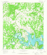
1963 Map of Fischer
USGS Topo · Published 1967About this map
The Guadalupe River carves through the Texas Hill Country in this early 1960s survey, capturing the landscape during the filling of the Canyon Reservoir. The map illustrates the dramatic shift from a traditional riverine environment to a regulated lake system, with areas marked for controlled inundation surrounding the newly formed Potter Creek Park. Longstanding rural signatures like the Bremer Cem and the settlement of Fischer remain on higher ground, while the winding Demijohn Bend and Cordova Bend demonstrate the river's original serpentine path before the rising waters altered the topography.
Find a feature on this map
29 named features on this map. Tap any name to fly to it.
Don’t see what you’re looking for? This feature index may not catch every label — zoom into the map to look around manually.
Map Details
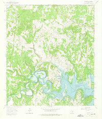
Editions of this 1963 Fischer Map
2 editions found
Other maps of this area

1887 · Blanco
USGS Topo · 1:125,000

1894 · Blanco
USGS Topo · 1:125,000

1920 · Smithsons Valley
USGS Topo · 1:62,500

1925 · Hunter No 3
USGS Topo · 1:48,000

1925 · Smithson Valley No. 1
USGS Topo · 1:48,000

1927 · Smithson Valley
USGS Topo · 1:62,500

1929 · Hunter
USGS Topo · 1:62,500

1929 · Smithson Valley
USGS Topo · 1:62,500

1940 · Smithson Valley
USGS Topo · 1:62,500

1954 · Llano
USGS Topo · 1:250,000