
1931 Map of Fish River Lake
USGS Topo · Published 1931About this map
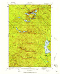
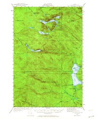
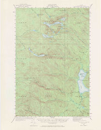
Wheelock Mill and Michaud Mill represent the active timber and milling presence in this corner of Aroostook County during the early 1930s. The landscape is defined by an intricate network of waterways, centered on the expansive Fish River Lake and its islands, Zella Island and Blueberry Island. This survey, compiled in part from aerial photographs by the Air Corps, provides a distinct look at the logging and sporting camps of the era, including Red River Camps, Blanchards Depot Camp, and Bishops Camps. Higher elevations are marked by the Fire Tower atop the peaks near De Boulie Mtn. and Black Mountain, offering a vantage point over the many small ponds like Pushineer Pond and De Boulie Pond that dot the townships.
Find a feature on this map
55 named features on this map. Tap any name to fly to it.
Don’t see what you’re looking for? This feature index may not catch every label — zoom into the map to look around manually.
Map Details
Editions of this 1931 Fish River Lake Map
4 editions found
Other maps of this area

1928 · Eagle Lake
USGS Topo · 1:48,000

1928 · Winterville
USGS Topo · 1:48,000

1930 · Greenlaw
USGS Topo · 1:48,000

1930 · Allagash
USGS Topo · 1:48,000

1930 · St Francis
USGS Topo · 1:48,000

1931 · Mooseleuk Lake
USGS Topo · 1:48,000

1931 · Eagle Lake
USGS Topo · 1:62,500

1931 · Winterville
USGS Topo · 1:62,500

1932 · Musquacook Lakes
USGS Topo · 1:48,000

1932 · Allagash Falls
USGS Topo · 1:48,000