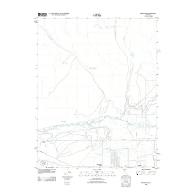
2012 Map of Fish Slough
USGS Topo · Published 2012About this map
The Volcanic Tableland dominates the northern landscape of this region, a stark contrast to the fertile reaches of Owens Valley below. This survey captures the hydrologic network of the High Sierra foothills, where the Owens River meanders toward the city of Bishop. Significant riparian corridors like Fish Slough and Horton Cr cut through the terrain, supporting local recreation at the Millpond Recreation Area.
Find a feature on this map
29 named features on this map. Tap any name to fly to it.
Don’t see what you’re looking for? This feature index may not catch every label — zoom into the map to look around manually.
Map Details
Editions of this 2012 Fish Slough Map
This is the sole edition of this map. No revisions or reprints were ever made.
Other maps of this area

1912 · Mt. Goddard
USGS Topo · 1:125,000

1913 · Bishop
USGS Topo · 1:125,000

1914 · Mt. Morrison
USGS Topo · 1:125,000

1917 · White Mountain
USGS Topo · 1:125,000

1947 · Mariposa
USGS Topo · 1:250,000

1948 · Mariposa
USGS Topo · 1:250,000

1949 · Mt. Tom
USGS Topo · 1:62,500

1949 · Bishop
USGS Topo · 1:62,500

1951 · Mt. Tom
USGS Topo · 1:62,500

1951 · Bishop
USGS Topo · 1:62,500
Featured Places
- Bishop, CA
- Dixon Lane–Meadow Creek, Dixon Lane-Meadow Creek
- West Bishop, CA
- Brockmans Corner, Dixon Lane-Meadow Creek