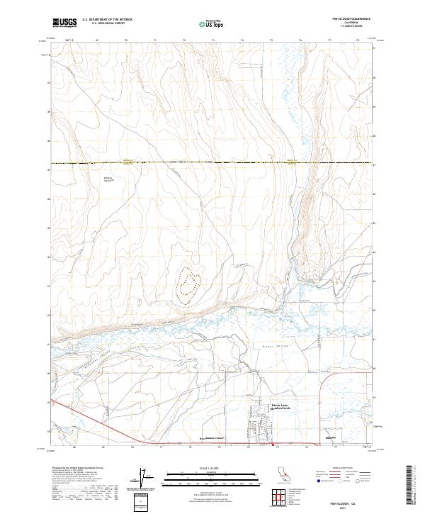
2021 Map of Fish Slough
USGS Topo · Published 2021About this map
Owens River and its intricate network of canals dominate the southern landscape of this Inyo County survey, showing the complex water management system near Bishop. The terrain transitions from the high Volcanic Tableland in the northwest down to the wetlands of Fish Slough, a distinctive ecological feature that marks the border between Inyo and Mono counties.
Find a feature on this map
48 named features on this map. Tap any name to fly to it.
Don’t see what you’re looking for? This feature index may not catch every label — zoom into the map to look around manually.
Map Details
Editions of this 2021 Fish Slough Map
This is the sole edition of this map. No revisions or reprints were ever made.
Other maps of this area

1912 · Mt. Goddard
USGS Topo · 1:125,000

1913 · Bishop
USGS Topo · 1:125,000

1914 · Mt. Morrison
USGS Topo · 1:125,000

1917 · White Mountain
USGS Topo · 1:125,000

1947 · Mariposa
USGS Topo · 1:250,000

1948 · Mariposa
USGS Topo · 1:250,000

1949 · Mt. Tom
USGS Topo · 1:62,500

1949 · Bishop
USGS Topo · 1:62,500

1951 · Mt. Tom
USGS Topo · 1:62,500

1951 · Bishop
USGS Topo · 1:62,500
Featured Places
- Bishop, CA
- Dixon Lane–Meadow Creek, Dixon Lane-Meadow Creek
- West Bishop, CA
- Brockmans Corner, Dixon Lane-Meadow Creek