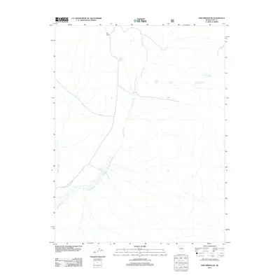
2012 Map of Fish Springs NE
USGS Topo · Published 2012About this map
Dry Valley defines the arid northern reaches of this central Nevada landscape, where water is the primary architectural force. The drainage network is dominated by the braided course of Sevenmile Wash, which winds south from the high ground. For researchers of western geography and cattle ranching history, the distribution of water sources is the map’s most critical detail. Named springs such as Road Canyon Spring and the sequentially numbered Snowball Spring Number Six and Snowball Spring Number Seven are documented alongside Willow Spring and Willow Spring Two. These isolated water points provided essential lifelines for livestock and early travelers through the basin. In the northeast and west, the map records the intermittent flow of Moonshine Creek and Savory Creek, tracing the subtle topography of a region where ephemeral watercourses dictate the shape of human activity and exploration.
Find a feature on this map
9 named features on this map. Tap any name to fly to it.
Don’t see what you’re looking for? This feature index may not catch every label — zoom into the map to look around manually.
Map Details
Editions of this 2012 Fish Springs NE Map
This is the sole edition of this map. No revisions or reprints were ever made.
Other maps of this area

1926 · Roberts Mountains
USGS Topo · 1:250,000

1929 · Roberts Mountains
USGS Topo · 1:250,000

1955 · Millett
USGS Topo · 1:250,000

1956 · Cockalorum Wash
USGS Topo · 1:62,500

1956 · Horse Heaven Mtn
USGS Topo · 1:62,500

1956 · Tonopah
USGS Topo · 1:250,000

1959 · Tonopah
USGS Topo · 1:250,000

1959 · Millett
USGS Topo · 1:250,000

1962 · Tonopah
USGS Topo · 1:250,000

1968 · Pritchards Station
USGS Topo · 1:62,500