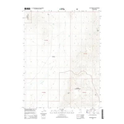
2014 Map of Fish Springs NE
USGS Topo · Published 2014About this map
Toiyabe National Forest lands dominate this high-desert landscape in central Nevada, where the drainage systems of the Antelope Range and Hot Creek Range meet. The map reveals a complex network of seasonal water sources and springs essential to this arid environment, including Road Canyon Spring and the numerically designated Snowball Spring Number Six and Seven. The topographic detail illustrates the transition from the broad, flat Little Fish Lake Valley into the steep, rising terrain of Long Canyon. Several ephemeral watercourses, most notably Sevenmile Wash, illustrate the hydrological patterns of the basin and range province. This modern survey provides a detailed look at the public land boundaries and the name-based geography of a sparsely populated region, where named features like Moonshine Cr and Savory Cr reflect local history and land usage.
Find a feature on this map
18 named features on this map. Tap any name to fly to it.
Don’t see what you’re looking for? This feature index may not catch every label — zoom into the map to look around manually.
Map Details
Editions of this 2014 Fish Springs NE Map
This is the sole edition of this map. No revisions or reprints were ever made.
Other maps of this area

1926 · Roberts Mountains
USGS Topo · 1:250,000

1929 · Roberts Mountains
USGS Topo · 1:250,000

1955 · Millett
USGS Topo · 1:250,000

1956 · Cockalorum Wash
USGS Topo · 1:62,500

1956 · Horse Heaven Mtn
USGS Topo · 1:62,500

1956 · Tonopah
USGS Topo · 1:250,000

1959 · Tonopah
USGS Topo · 1:250,000

1959 · Millett
USGS Topo · 1:250,000

1962 · Tonopah
USGS Topo · 1:250,000

1968 · Pritchards Station
USGS Topo · 1:62,500