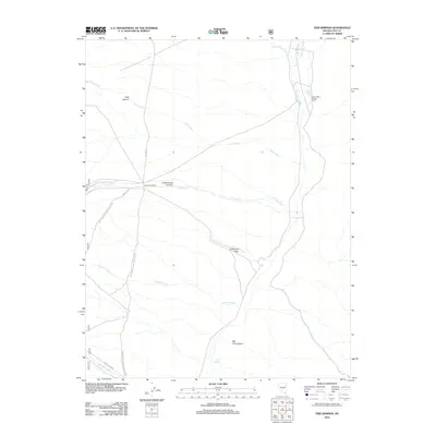
2012 Map of Fish Springs
USGS Topo · Published 2012About this map
Clear Creek Ranch and the isolated Seven Mile Spring Corral represent the human footprint in this high-desert landscape of Nye County. The area is defined by a network of seasonal watercourses and canyons, where Tulle Creek winds through Tulle Canyon and Sawmill Creek drains toward the central flats. This modern survey illustrates the critical role of water sources in a dry environment, highlighting scattered locations such as Fish Springs and Sevenmile Spring. The terrain transitions from the open expanse of Anderson Field to the deep incisions of Cottonwood Canyon and Big Cow Canyon. Access is maintained by forest roads including Natl Forest Develop Road 139 Rd, which connects these remote outposts and drainage systems.
Find a feature on this map
19 named features on this map. Tap any name to fly to it.
Don’t see what you’re looking for? This feature index may not catch every label — zoom into the map to look around manually.
Map Details
Editions of this 2012 Fish Springs Map
This is the sole edition of this map. No revisions or reprints were ever made.
Other maps of this area

1956 · Tonopah
USGS Topo · 1:250,000

1959 · Tonopah
USGS Topo · 1:250,000

1962 · Tonopah
USGS Topo · 1:250,000

1967 · Upper Fish Lake
USGS Topo · 1:24,000

1967 · Morey Peak
USGS Topo · 1:24,000

1968 · Morey Peak
USGS Topo · 1:62,500

1968 · Fish Springs
USGS Topo · 1:62,500
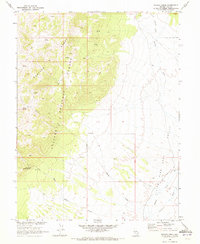
1968 · Stargo Creek
USGS Topo · 1:24,000
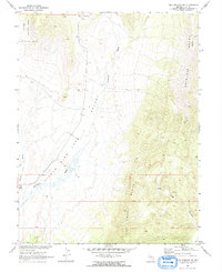
1968 · Fish Springs NE
USGS Topo · 1:24,000
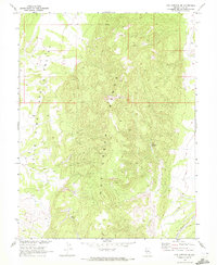
1968 · Fish Springs SE
USGS Topo · 1:24,000