
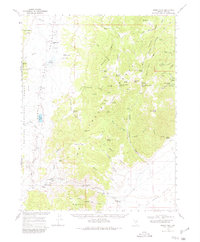
1968 Map of Morey Peak
USGS Topo · Published 1971About this map
Little Fish Lake Valley and the surrounding high country of the Fish Creek Range dominate this late-1960s survey of central Nevada. The map reveals a landscape defined by its isolated outposts and livestock history, anchored by Little Fish Lake Ranch in the north and the cluster of Old Page Place and Old Dugan Ranch to the south. A notable concentration of springs, including the descriptively named Big Fandango and Sweet Spring, suggests the critical importance of water rights in this arid terrain.
Find a feature on this map
77 named features on this map. Tap any name to fly to it.
Don’t see what you’re looking for? This feature index may not catch every label — zoom into the map to look around manually.
Map Details
Editions of this 1968 Morey Peak Map
2 editions found
Other maps of this area

1956 · Tonopah
USGS Topo · 1:250,000

1959 · Tonopah
USGS Topo · 1:250,000

1962 · Tonopah
USGS Topo · 1:250,000

1967 · Lunar Crater
USGS Topo · 1:62,500

1967 · Moores Station
USGS Topo · 1:62,500

1967 · Blue Jay Spring
USGS Topo · 1:24,000

1967 · Upper Fish Lake
USGS Topo · 1:24,000

1967 · Palisade Mesa
USGS Topo · 1:24,000

1967 · Moores Station
USGS Topo · 1:24,000

1967 · Morey Peak
USGS Topo · 1:24,000