
1967 Map of Upper Fish Lake
USGS Topo · Published 1973About this map
Little Fish Lake Valley dominates this 1967 landscape, where water dictates the location of human activity in the high desert. The isolated Little Fish Lake Ranch sits at the edge of the valley floor, reliant on the collection of water from Upper Fish Lake and several thermal features like Upper Warm Spring and Warm Spring. The terrain transitions sharply from the valley basin into the steep slopes of the Hot Creek Range to the east and the Toiyabe National Forest to the west.
Find a feature on this map
24 named features on this map. Tap any name to fly to it.
Don’t see what you’re looking for? This feature index may not catch every label — zoom into the map to look around manually.
Map Details
Editions of this 1967 Upper Fish Lake Map
This is the sole edition of this map. No revisions or reprints were ever made.
Other maps of this area

1956 · Tonopah
USGS Topo · 1:250,000

1959 · Tonopah
USGS Topo · 1:250,000

1962 · Tonopah
USGS Topo · 1:250,000

1967 · Morey Peak
USGS Topo · 1:24,000

1968 · Morey Peak
USGS Topo · 1:62,500

1968 · Fish Springs
USGS Topo · 1:62,500
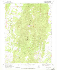
1968 · Fish Springs SE
USGS Topo · 1:24,000
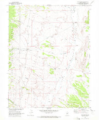
1968 · Fish Springs
USGS Topo · 1:24,000
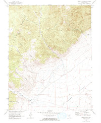
1968 · Hobble Canyon
USGS Topo · 1:24,000
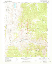
1968 · Little Fish Lake
USGS Topo · 1:24,000