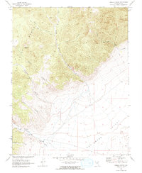
1968 Map of Hobble Canyon
USGS Topo · Published 1973About this map
The Hot Creek Range dominates the western landscape of this late-1960s survey, where rugged topography descends into the broad expanse of Hot Creek Valley. Human presence is concentrated at the base of these mountains, most notably at Hot Creek Ranch and the Upper Hot Creek Ranch. These ranching sites, situated near a Cem and Hot Spring, demonstrate the historic reliance on water sources at the edge of the desert basin.
Find a feature on this map
22 named features on this map. Tap any name to fly to it.
Don’t see what you’re looking for? This feature index may not catch every label — zoom into the map to look around manually.
Map Details
Editions of this 1968 Hobble Canyon Map
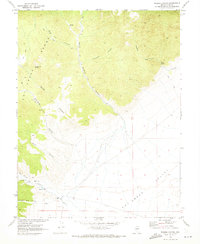
2 editions found
Other maps of this area

1956 · Tonopah
USGS Topo · 1:250,000

1959 · Tonopah
USGS Topo · 1:250,000

1962 · Tonopah
USGS Topo · 1:250,000

1967 · Lunar Crater
USGS Topo · 1:62,500

1967 · Moores Station
USGS Topo · 1:62,500

1967 · Blue Jay Spring
USGS Topo · 1:24,000

1967 · Upper Fish Lake
USGS Topo · 1:24,000

1967 · Palisade Mesa
USGS Topo · 1:24,000

1967 · Moores Station
USGS Topo · 1:24,000

1967 · Morey Peak
USGS Topo · 1:24,000