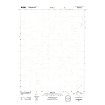
2012 Map of Fish Springs SE
USGS Topo · Published 2012About this map
Limestone Spring and Meadow Spring provide the only named geographic markers in this high-desert portion of Nye County. The map reveals a landscape defined by an intricate network of seasonal drainages and washes, illustrating the stark hydrology of the region as it was documented in 2012. The isolation of these water sources suggests their historical importance to ranching or transit in a terrain where surface water is remarkably scarce. This survey captures the topographical subtlely of the area, where minor shifts in elevation dictate the flow of ephemeral streams through the basin.
Find a feature on this map
2 named features on this map. Tap any name to fly to it.
Don’t see what you’re looking for? This feature index may not catch every label — zoom into the map to look around manually.
Map Details
Editions of this 2012 Fish Springs SE Map
This is the sole edition of this map. No revisions or reprints were ever made.
Other maps of this area

1956 · Tonopah
USGS Topo · 1:250,000

1959 · Tonopah
USGS Topo · 1:250,000

1962 · Tonopah
USGS Topo · 1:250,000

1967 · Moores Station
USGS Topo · 1:62,500

1967 · Upper Fish Lake
USGS Topo · 1:24,000

1967 · Moores Station
USGS Topo · 1:24,000

1967 · Morey Peak
USGS Topo · 1:24,000

1968 · Morey Peak
USGS Topo · 1:62,500

1968 · Pritchards Station
USGS Topo · 1:62,500

1968 · Fish Springs
USGS Topo · 1:62,500