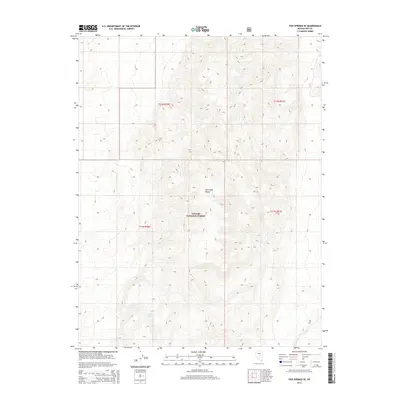
2014 Map of Fish Springs SE
USGS Topo · Published 2014About this map
The Hot Creek Range dominates this portion of the Toiyabe National Forest in central Nevada, where the high-altitude landscape is defined by its isolation and limited water sources. Small but vital points of interest like Limestone Spring and Meadow Spring provide the only named water features across these steep contours, illustrating the essential nature of spring-fed hydrology in the Great Basin. This 2014 survey captures the area within the framework of the Public Land Survey System, specifically detailing township and range divisions such as t12n r50e and t11n r51e, which are fundamental for tracing land ownership and grazing rights in this part of Nye County.
Find a feature on this map
8 named features on this map. Tap any name to fly to it.
Don’t see what you’re looking for? This feature index may not catch every label — zoom into the map to look around manually.
Map Details
Editions of this 2014 Fish Springs SE Map
This is the sole edition of this map. No revisions or reprints were ever made.
Other maps of this area

1956 · Tonopah
USGS Topo · 1:250,000

1959 · Tonopah
USGS Topo · 1:250,000

1962 · Tonopah
USGS Topo · 1:250,000

1967 · Moores Station
USGS Topo · 1:62,500

1967 · Upper Fish Lake
USGS Topo · 1:24,000

1967 · Moores Station
USGS Topo · 1:24,000

1967 · Morey Peak
USGS Topo · 1:24,000

1968 · Morey Peak
USGS Topo · 1:62,500

1968 · Pritchards Station
USGS Topo · 1:62,500

1968 · Fish Springs
USGS Topo · 1:62,500