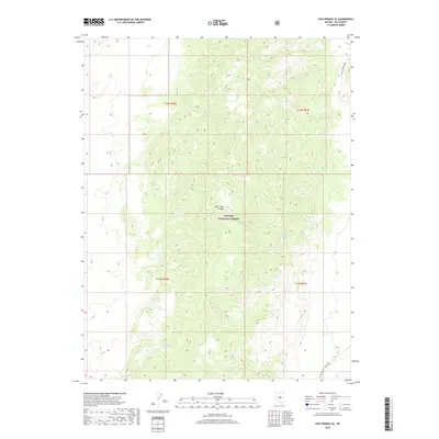
2018 Map of Fish Springs SE
USGS Topo · Published 2018About this map
The Hot Creek Range dominates this portion of the Toiyabe National Forest in central Nevada. High-elevation contours reveal a landscape shaped by significant relief, where water sources like Limestone Spring and Meadow Spring provided vital points of interest for early travelers and land managers in this arid environment. The transportation network is sparse, defined primarily by rugged tracks such as Hicks Spring Road in the northeast and Luther Waddles Wash Road in the southeast. These routes follow the natural drainage patterns and canyons typical of the Great Basin's basin-and-range topography. This 2018 update highlights the enduring isolation of the region, maintained under federal oversight for conservation and resource management.
Find a feature on this map
10 named features on this map. Tap any name to fly to it.
Don’t see what you’re looking for? This feature index may not catch every label — zoom into the map to look around manually.
Map Details
Editions of this 2018 Fish Springs SE Map
This is the sole edition of this map. No revisions or reprints were ever made.
Other maps of this area

1956 · Tonopah
USGS Topo · 1:250,000

1959 · Tonopah
USGS Topo · 1:250,000

1962 · Tonopah
USGS Topo · 1:250,000

1967 · Moores Station
USGS Topo · 1:62,500

1967 · Upper Fish Lake
USGS Topo · 1:24,000

1967 · Moores Station
USGS Topo · 1:24,000

1967 · Morey Peak
USGS Topo · 1:24,000

1968 · Morey Peak
USGS Topo · 1:62,500

1968 · Pritchards Station
USGS Topo · 1:62,500

1968 · Fish Springs
USGS Topo · 1:62,500