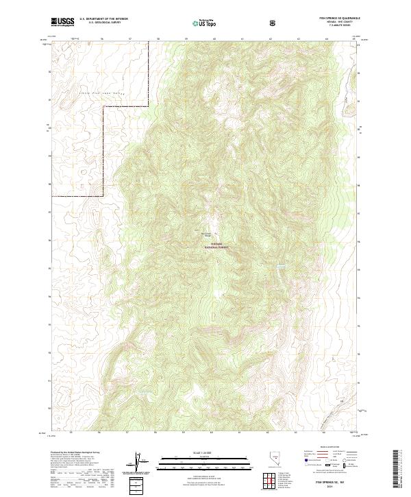
2021 Map of Fish Springs SE
USGS Topo · Published 2021About this map
Toiyabe National Forest lands dominate this high-elevation landscape in the heart of Nye County, where the Hot Creek Range forms a rugged spine between drainage basins. This modern topographic study reveals the sparse but vital water sources that define the Great Basin, including Limestone Spring and Meadow Spring. These isolated points represent critical landmarks in a dry environment, serving as traditional watering spots for both wildlife and the livestock of ranchers who utilize the surrounding public grazing lands.
Find a feature on this map
10 named features on this map. Tap any name to fly to it.
Don’t see what you’re looking for? This feature index may not catch every label — zoom into the map to look around manually.
Map Details
Editions of this 2021 Fish Springs SE Map
This is the sole edition of this map. No revisions or reprints were ever made.
Other maps of this area

1956 · Tonopah
USGS Topo · 1:250,000

1959 · Tonopah
USGS Topo · 1:250,000

1962 · Tonopah
USGS Topo · 1:250,000

1967 · Moores Station
USGS Topo · 1:62,500

1967 · Upper Fish Lake
USGS Topo · 1:24,000

1967 · Moores Station
USGS Topo · 1:24,000

1967 · Morey Peak
USGS Topo · 1:24,000

1968 · Morey Peak
USGS Topo · 1:62,500

1968 · Pritchards Station
USGS Topo · 1:62,500

1968 · Fish Springs
USGS Topo · 1:62,500