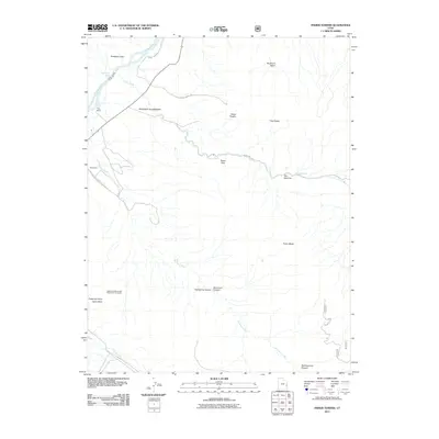
2011 Map of Fisher Towers
USGS Topo · Published 2011About this map
Fisher Towers and the surrounding red rock landscape of Grand County define this 2011 topographic record. The area is marked by striking geological formations such as Titan Tower, the Totem Pole, and the iconic Castle Rock, often identified alongside the Priest and Nuns landforms. Local infrastructure is concentrated along the Colorado River and the winding Onion Creek Rd, which provides access into the deep erosional features of Richardson Amphitheater.
Find a feature on this map
25 named features on this map. Tap any name to fly to it.
Don’t see what you’re looking for? This feature index may not catch every label — zoom into the map to look around manually.
Map Details
Editions of this 2011 Fisher Towers Map
This is the sole edition of this map. No revisions or reprints were ever made.
Other maps of this area

1885 · La Sal
USGS Topo · 1:250,000

1954 · Mt. Waas 4 SW
USGS Topo · 1:24,000

1954 · Mt. Waas 4 NW
USGS Topo · 1:24,000

1954 · Mt. Waas 3 NE
USGS Topo · 1:24,000

1954 · Mt. Waas 3 SE
USGS Topo · 1:24,000

1954 · Mt. Waas 1 SW
USGS Topo · 1:24,000

1954 · Mt. Waas 3 NW
USGS Topo · 1:24,000

1954 · Mt. Waas 3 SW
USGS Topo · 1:24,000

1954 · Coates Creek
USGS Topo · 1:62,500

1954 · Polar Mesa
USGS Topo · 1:62,500