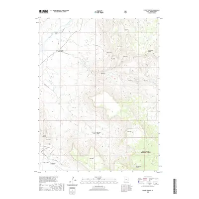
2020 Map of Fisher Towers
USGS Topo · Published 2020About this map
Fisher Towers and the dramatic vertical monoliths of the Richardson Amphitheater dominate this 2020 landscape in Grand County. The terrain is defined by extreme elevation changes, from the banks of the Colorado River and its Onion Creek Rapids to the high plateaus of Fisher Mesa and the Manti-La Sal National Forest. Geologic landmarks are meticulously identified, including The Titan, the Totem Pole, and the iconic Priest and Nuns spire near the settlement of Castle Valley.
Find a feature on this map
35 named features on this map. Tap any name to fly to it.
Don’t see what you’re looking for? This feature index may not catch every label — zoom into the map to look around manually.
Map Details
Editions of this 2020 Fisher Towers Map
This is the sole edition of this map. No revisions or reprints were ever made.
Other maps of this area

1885 · La Sal
USGS Topo · 1:250,000

1954 · Mt. Waas 4 SW
USGS Topo · 1:24,000

1954 · Mt. Waas 4 NW
USGS Topo · 1:24,000

1954 · Mt. Waas 3 NE
USGS Topo · 1:24,000

1954 · Mt. Waas 3 SE
USGS Topo · 1:24,000

1954 · Mt. Waas 1 SW
USGS Topo · 1:24,000

1954 · Mt. Waas 3 NW
USGS Topo · 1:24,000

1954 · Mt. Waas 3 SW
USGS Topo · 1:24,000

1954 · Coates Creek
USGS Topo · 1:62,500

1954 · Polar Mesa
USGS Topo · 1:62,500