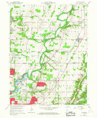
1959 Map of Fishers
USGS Topo · Published 1960About this map
White River meanders through this landscape, marking the transition from rural Hamilton County into the burgeoning northern suburbs of Indianapolis. The area is anchored by Fishers (Fishers Sta) and New Britton along the Nickel Plate Road, while the southern reaches show the early residential expansion of neighborhoods like Castleton, Ivy Hills, and Fairwood Hills. The map provides a detailed look at the agricultural-industrial balance of the era, from the specialized Lynnwood Farm (Purdue Univ) to the extensive Fort Benjamin Harrison Mil Res in the southeast. Local heritage is preserved in several family and community landmarks, including White Chapel Cem and Oaklawn Memorial Gardens Cemetery, while the presence of various gravel pits and school sites like Fishers Sch reflects the mid-century infrastructure growth along the White River valley.
Find a feature on this map
101 named features on this map. Tap any name to fly to it.
Don’t see what you’re looking for? This feature index may not catch every label — zoom into the map to look around manually.
Map Details
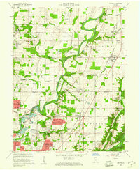
Editions of this 1959 Fishers Map
2 editions found
Other maps of this area

1948 · Indianapolis East
USGS Topo · 1:24,000

1948 · Indianapolis West
USGS Topo · 1:24,000

1952 · Cumberland
USGS Topo · 1:24,000

1952 · Fishers
USGS Topo · 1:24,000

1952 · Carmel
USGS Topo · 1:24,000

1952 · Mc Cordsville
USGS Topo · 1:24,000

1953 · Westfield
USGS Topo · 1:24,000

1953 · Riverwood
USGS Topo · 1:24,000

1953 · Noblesville
USGS Topo · 1:24,000

1953 · Cincinnati
USGS Topo · 1:250,000