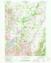
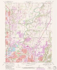
1967 Map of Fishers
USGS Topo · Published 1980About this map
The White River and Fall Creek systems anchor this study of the suburban landscape between Carmel and Fishers during a period of rapid expansion. Revisions to the map show the emerging interstate system, including the I-465 and I-69 interchange, which catalyzed the development of residential neighborhoods like Devonshire, Avalon Hills, and Holaday Hills and Dales. Despite the suburban shift, the map preserves older rural markers like New Britton and several small burial grounds including Weaver Cem and Farley Cem.
Find a feature on this map
71 named features on this map. Tap any name to fly to it.
Don’t see what you’re looking for? This feature index may not catch every label — zoom into the map to look around manually.
Map Details
Editions of this 1967 Fishers Map
5 editions found
Other maps of this area

1948 · Indianapolis East
USGS Topo · 1:24,000

1948 · Indianapolis West
USGS Topo · 1:24,000

1952 · Cumberland
USGS Topo · 1:24,000

1952 · Fishers
USGS Topo · 1:24,000

1952 · Carmel
USGS Topo · 1:24,000

1952 · Mc Cordsville
USGS Topo · 1:24,000

1953 · Westfield
USGS Topo · 1:24,000

1953 · Riverwood
USGS Topo · 1:24,000

1953 · Noblesville
USGS Topo · 1:24,000

1953 · Cincinnati
USGS Topo · 1:250,000