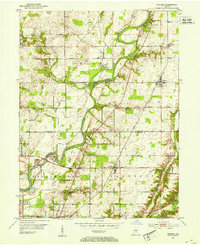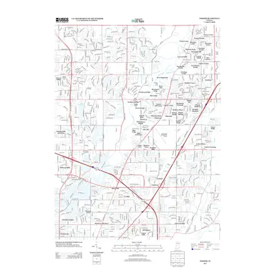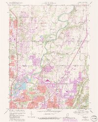
1967 Map of Fishers
USGS Topo · Published 1988About this map
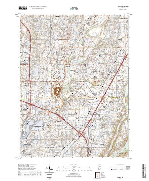
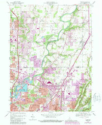
The White River and its numerous tributaries, including Cool Creek, Fall Creek, and Mud Creek, shape the suburban growth and industrial landscape of Hamilton and Marion counties during the late 1960s. This period of expansion is visible in the network of established and emerging neighborhoods like Castleton, Allisonville, and Fishers. Significant institutional footprints define the area, from the sprawling Fort Benjamin Harrison Mil Res in the southeast to the Indianapolis Metropolitan Airport and the Conner Prairie Museum along the river banks. Genealogists and historians can locate legacy sites such as White Chapel Cem and Union Chapel Cem, while the Norfolk and Western railroad tracks and multiple Gravel Pits indicate the region's transport and resource extraction history. The map also documents aviation history through smaller facilities like Best Airstrip and recreational spots like Northern Beach.
Find a feature on this map
88 named features on this map. Tap any name to fly to it.
Don’t see what you’re looking for? This feature index may not catch every label — zoom into the map to look around manually.
Map Details
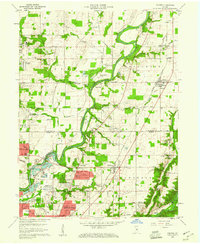
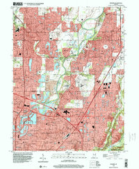
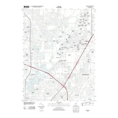
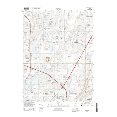
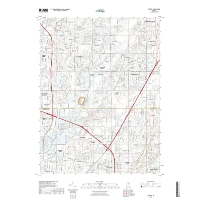
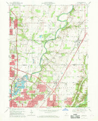
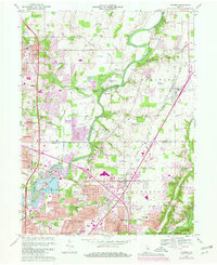
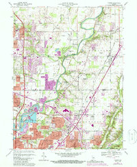
Editions of this 1967 Fishers Map
5 editions found
Historical Maps of Indianapolis Through Time
9 maps found