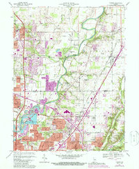
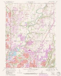
1967 Map of Fishers
USGS Topo · Published 1988About this map
The White River and Fall Creek anchor this landscape of rapid suburbanization along the border of Hamilton and Marion Counties. By the late 1960s, the rural character of northern Indianapolis was shifting toward a series of planned neighborhoods like Northwood Hills, Devonshire, and Avalon Hills, while established crossroads such as Castleton and Allisonville were becoming major hubs of development. Cultural and historical landmarks are well-documented, including the Conner Prairie Museum on the river’s eastern bank and the historic White Chapel Cem. The map illustrates the infrastructure supporting this growth, from the Norfolk and Western railroad corridor to the Indianapolis Metropolitan Airport. Military presence is noted at the southern edge with a portion of the Fort Benjamin Harrison Mil Res, while local community life is reflected in several country churches like Union Chapel and Antioch Ch.
Find a feature on this map
93 named features on this map. Tap any name to fly to it.
Don’t see what you’re looking for? This feature index may not catch every label — zoom into the map to look around manually.
Map Details
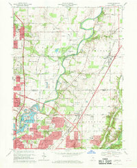
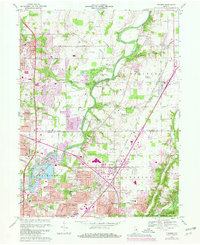
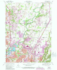
Editions of this 1967 Fishers Map
5 editions found
Other maps of this area

1948 · Indianapolis East
USGS Topo · 1:24,000

1948 · Indianapolis West
USGS Topo · 1:24,000

1952 · Cumberland
USGS Topo · 1:24,000

1952 · Fishers
USGS Topo · 1:24,000

1952 · Carmel
USGS Topo · 1:24,000

1952 · Mc Cordsville
USGS Topo · 1:24,000

1953 · Westfield
USGS Topo · 1:24,000

1953 · Riverwood
USGS Topo · 1:24,000

1953 · Noblesville
USGS Topo · 1:24,000

1953 · Cincinnati
USGS Topo · 1:250,000