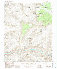
1988 Map of Fishtail Mesa
USGS Topo · Published 1988About this map
The Colorado River carves through the southern reaches of this landscape, creating dramatic elevation changes between the riverbed and the surrounding plateaus. This 1980s provisional study details the complex geography where Grand Canyon National Park meets the Kaibab National Forest, highlighting the transition from high-elevation mesas to deep canyon floors. Significant water features such as Fishtail Rapids and Deer Creek Falls are clearly marked along the river's path, while interior landmarks like Keyhole Natural Bridge suggest the unique geological formations found within the Hundred and Forty Mile Canyon.
Find a feature on this map
25 named features on this map. Tap any name to fly to it.
Don’t see what you’re looking for? This feature index may not catch every label — zoom into the map to look around manually.
Map Details
Editions of this 1988 Fishtail Mesa Map
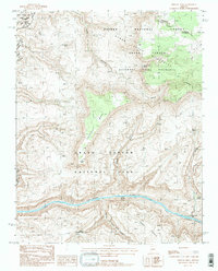
2 editions found
Other maps of this area

1886 · Kaibab
USGS Topo · 1:250,000

1953 · Grand Canyon
USGS Topo · 1:250,000

1957 · Grand Canyon
USGS Topo · 1:250,000

1957 · Jumpup Canyon
USGS Topo · 1:62,500

1958 · Grand Canyon
USGS Topo · 1:250,000

1958 · Big Springs
USGS Topo · 1:62,500

1960 · Grand Canyon
USGS Topo · 1:250,000

1962 · Kanab Point
USGS Topo · 1:62,500
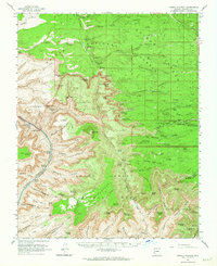
1962 · Powell Plateau
USGS Topo · 1:62,500

1984 · Grand Canyon
USGS Topo · 1:100,000