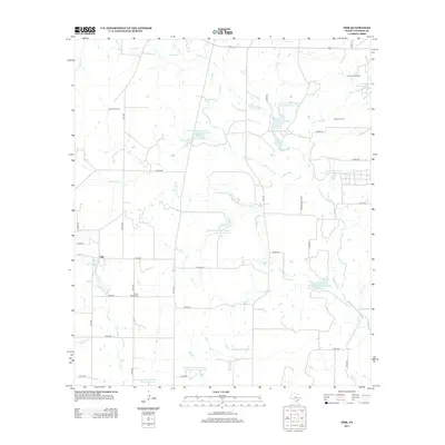
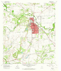
2013 Map of Fisk
USGS Topo · Published 2013About this map
Fisk anchors this rural landscape in Coleman County, where the settlement pattern is defined by a grid of farm roads and the management of regional water resources. The terrain is notably marked by an extensive series of water management projects, including Soil Conservation Service Site 7a Reservoir and several numbered sites ranging from Site 10 to Site 19. These reservoirs supplement natural drainage from creeks like Home Cr and Red Bank Cr, illustrating the localized infrastructure required for ranching and agriculture in this part of Texas.
Find a feature on this map
45 named features on this map. Tap any name to fly to it.
Don’t see what you’re looking for? This feature index may not catch every label — zoom into the map to look around manually.
Map Details
Editions of this 2013 Fisk Map
This is the sole edition of this map. No revisions or reprints were ever made.
Other maps of this area

1887 · Coleman
USGS Topo · 1:125,000

1889 · Coleman
USGS Topo · 1:125,000

1892 · Ballinger
USGS Topo · 1:125,000

1932 · Voss
USGS Topo · 1:62,500

1954 · Brownwood
USGS Topo · 1:250,000
1962 · Speck Mountain
USGS Topo · 1:24,000
1962 · Gouldbusk
USGS Topo · 1:24,000

1962 · Santa Anna
USGS Topo · 1:24,000
1963 · Lake San Tana
USGS Topo · 1:24,000
1963 · Coleman
USGS Topo · 1:24,000